 vesseltracker.com
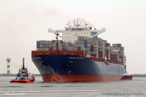
 Maersk Skarstind
Current Status
Where is the vessel?
Maersk Skarstind is currently in 11 nm SE of YANGSHAN, based on AIS data received about 1h ago.
Latest AIS update:
Current position: 30.47882° N, 122.28800° E (11 nm SE of YANGSHAN)
Average speed (last 7 days): Loading…
Average speed (last 30 days): Loading…
Vessel profile: Maersk Skarstind is a Container Ship with dimensions 300m x 48m.
This page combines live AIS, route history, probable destination signals, nearby traffic, and port activity for practical vessel monitoring.
The current position of vessel Maersk Skarstind is 30.47882 lat / 122.28800 lng. Updated: 2026-04-12 17:43:59 UTCNearest reference points:
- 11 nm N of JINHAI HEAVY INDUSTR
- 14 nm NE of JINHAI HEAVY INDUSTR
- 10 nm NE of JINHAI HEAVY INDUSTR
Currently sailing under the flag of Liberia ![]()
Details:
Live Vessel Maersk Skarstind Analytics (details, animations, etc.)
Recent AIS points (UTC):
2026-04-12 11:44:02 UTC · 30.47882, 122.28799 · SOG 0 kn · COG 290°2026-04-12 13:52:59 UTC · 30.47880, 122.28799 · SOG 0 kn · COG 290°
2026-04-12 15:37:57 UTC · 30.47883, 122.28799 · SOG 0 kn · COG 290°
2026-04-12 17:43:59 UTC · 30.47882, 122.28800 · SOG 0 kn · COG 290°