 vesseltracker.com
 Daytona Beach
Current Status
Where is the vessel?
Daytona Beach is currently in 177 nm NE of Koungou, based on AIS data received less than 1h ago.
Latest AIS update:
Current position: 10.13650° S, 46.61560° E (177 nm NE of Koungou)
Average speed (last 7 days): Loading…
Average speed (last 30 days): Loading…
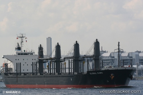
Vessel profile: Daytona Beach is a Bulk Carrier with dimensions 170m x 27m.
This page combines live AIS, route history, probable destination signals, nearby traffic, and port activity for practical vessel monitoring.
The current position of vessel Daytona Beach is -10.13650 lat / 46.61560 lng. Updated: 2026-04-19 05:45:40 UTCNearest reference points:
- 184 nm N of Mutsamudu, Anjouan
Currently sailing under the flag of Liberia ![]()
Daytona Beach built in 2012 year
Deadweight:
28233 tDetails:
Live Vessel Daytona Beach Analytics (details, animations, etc.)
Recent AIS points (UTC):
2026-04-19 00:16:02 UTC · -9.27618, 47.21193 · SOG 11.2 kn · COG 207°2026-04-19 01:55:30 UTC · -9.53183, 47.04992 · SOG 10.7 kn · COG 204°
2026-04-19 04:01:32 UTC · -9.86847, 46.82278 · SOG 11.5 kn · COG 204°
2026-04-19 05:45:40 UTC · -10.13650, 46.61560 · SOG 11.8 kn · COG 209°