 vesseltracker.com
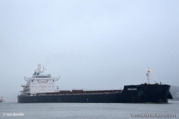
 Menaro
Current Status
Where is the vessel?
Menaro is currently in 139 nm SE of Port Saint John's, based on AIS data received about 4h ago.
Latest AIS update:
Current position: 33.02677° S, 31.72880° E (139 nm SE of Port Saint John's)
Average speed (last 7 days): Loading…
Average speed (last 30 days): Loading…
Vessel profile: Menaro is a Bulk Carrier with dimensions 229m x 32m.
This page combines live AIS, route history, probable destination signals, nearby traffic, and port activity for practical vessel monitoring.
The current position of vessel Menaro is -33.02677 lat / 31.72880 lng. Updated: 2026-04-16 01:34:12 UTCNearest reference points:
- 125 nm SE of Port Edward
- 23 nm E of Port Saint John's
- 181 nm SE of Hibberdene
Currently sailing under the flag of Liberia ![]()
Details:
Live Vessel Menaro Analytics (details, animations, etc.)
Recent AIS points (UTC):
2026-04-16 01:29:40 UTC · -33.03063, 31.71341 · SOG 10.7 kn · COG 76°2026-04-16 01:34:12 UTC · -33.02677, 31.72880 · SOG 10.7 kn · COG 75°
2026-04-16 01:34:12 UTC · -33.02677, 31.72880 · SOG 10.7 kn · COG 75°
2026-04-16 01:34:12 UTC · -33.02677, 31.72880 · SOG 10.7 kn · COG 75°