 vesseltracker.com
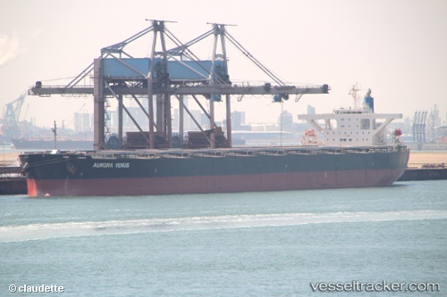
 Cape Miron
Current Status
Where is the vessel?
Cape Miron is currently in Near Waterport, based on AIS data received less than 1h ago.
Latest AIS update:
Current position: 36.07498° N, 5.29513° W (Near Waterport)
Average speed (last 7 days): Loading…
Average speed (last 30 days): Loading…
Vessel profile: Cape Miron is a Bulk Carrier with dimensions 289m x 45m.
This page combines live AIS, route history, probable destination signals, nearby traffic, and port activity for practical vessel monitoring.
The current position of vessel Cape Miron is 36.07498 lat / -5.29513 lng. Updated: 2026-04-05 07:46:17 UTCNearest reference points:
- Near Waterport
- Near La Línea de la Concepción
- Near Algeciras
Currently sailing under the flag of Liberia ![]()
Cape Miron built in 2009 year
Deadweight:
180274 tDetails:
Live Vessel Cape Miron Analytics (details, animations, etc.)
Recent AIS points (UTC):
2026-04-05 02:31:46 UTC · 36.25590, -4.99302 · SOG 3.2 kn · COG 284°2026-04-05 03:26:06 UTC · 36.21623, -4.96697 · SOG 4.6 kn · COG 140°
2026-04-05 05:35:06 UTC · 36.16470, -4.93400 · SOG 0.9 kn · COG 136°
2026-04-05 07:46:17 UTC · 36.07498, -5.29513 · SOG 9.2 kn · COG 260°