 vesseltracker.com
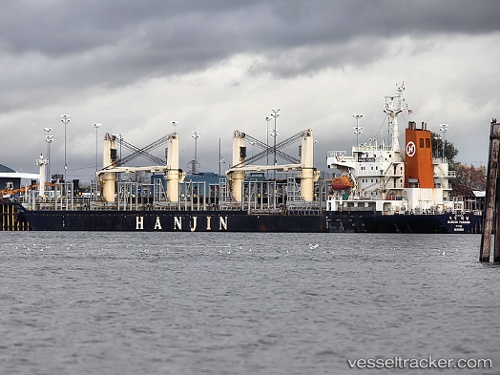
Vessel Ana m IMO: 9128154, MMSI: 636017317 Bulk Carrier
Live AIS position:
UTC. 286 nm SE of Dumont d'Urville Station),
updated 2026-01-11 11:01:18 UTC.
Find the position of the vessel Ana m on the map. The latter are known coordinates and path.
marine traffic ship tracker show on live map
The current position of vessel Ana m is -69.66194 lat / 149.93478 lng. Updated: 2026-01-11 11:01:18 UTCDetails:
Last coordinates of the vessel:
2026-01-11 11:01:18 UTC, -69.66194, 149.93478, course: 220, speed: 88.3