 vesseltracker.com
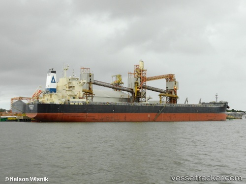
 Chryssa K
Current Status
Where is the vessel?
Chryssa K is currently in 83 nm E of Ruby, based on AIS data received about 1h ago.
Latest AIS update:
Current position: 9.96451° N, 109.84712° E (83 nm E of Ruby)
Average speed (last 7 days): Loading…
Average speed (last 30 days): Loading…
Vessel profile: Chryssa K is a Bulk Carrier with dimensions 229m x 32m.
This page combines live AIS, route history, probable destination signals, nearby traffic, and port activity for practical vessel monitoring.
The current position of vessel Chryssa K is 9.96451 lat / 109.84712 lng. Updated: 2026-04-16 17:22:17 UTCNearest reference points:
- Near Rang Dong
- 156 nm SE of Phan Rang-Tháp Chàm
- Near Vinh Cam Ranh
Currently sailing under the flag of Liberia ![]()
Chryssa K built in 2012 year
Deadweight:
81305 tDetails:
Live Vessel Chryssa K Analytics (details, animations, etc.)
Recent AIS points (UTC):
2026-04-16 12:11:06 UTC · 9.11608, 109.35018 · SOG 11.5 kn · COG 30°2026-04-16 14:17:14 UTC · 9.45946, 109.55164 · SOG 11.3 kn · COG 27°
2026-04-16 15:57:45 UTC · 9.73394, 109.71554 · SOG 11.2 kn · COG 26°
2026-04-16 17:22:17 UTC · 9.96451, 109.84712 · SOG 11 kn · COG 27°