 vesseltracker.com
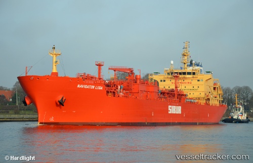
Navigator Luga
Current StatusWhere is the vessel?
Navigator Luga is currently in 12 nm NE of Jingjiang, based on AIS data received about 8h ago.
Latest AIS update:
Current position: 31.14488° N, 122.63519° E (12 nm NE of Jingjiang)
Average speed (last 7 days): Loading…
Average speed (last 30 days): Loading…
Vessel profile: Navigator Luga is a Lpg Tanker with dimensions 26m x 160m.
This page combines live AIS, route history, probable destination signals, nearby traffic, and port activity for practical vessel monitoring.
The current position of vessel Navigator Luga is 31.14488 lat / 122.63519 lng. Updated: 2026-04-10 08:18:56 UTCNearest reference points:
- 15 nm NE of Jingjiang
- 14 nm N of Lü-hua Shan
- 17 nm NE of Jingjiang
Details:
Live Vessel Navigator Luga Analytics (details, animations, etc.)
Recent AIS points (UTC):
2026-04-10 01:52:35 UTC · 31.14438, 122.63653 · SOG 0.7 kn · COG 233°2026-04-10 03:51:58 UTC · 31.14287, 122.63329 · SOG 0 kn · COG 80°
2026-04-10 05:42:57 UTC · 31.14439, 122.63395 · SOG 0 kn · COG 123°
2026-04-10 08:18:56 UTC · 31.14488, 122.63519 · SOG 0.2 kn · COG 182°