 vesseltracker.com
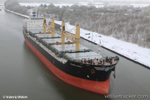
 Global Harmony
Current Status
Where is the vessel?
Global Harmony is currently in 28 nm E of Magdalena, based on AIS data received about 1h ago.
Latest AIS update:
Current position: 35.12881° S, 57.05415° W (28 nm E of Magdalena)
Average speed (last 7 days): Loading…
Average speed (last 30 days): Loading…
Vessel profile: Global Harmony is a Bulk Carrier with dimensions 180m x 30m.
This page combines live AIS, route history, probable destination signals, nearby traffic, and port activity for practical vessel monitoring.
The current position of vessel Global Harmony is -35.12881 lat / -57.05415 lng. Updated: 2026-04-03 22:04:45 UTCNearest reference points:
- Near JUAN LACAZE
- 16 nm N of Cabo San Antonio
- Near Dock Sur
Currently sailing under the flag of Liberia ![]()
Global Harmony built in 2010 year
Deadweight:
35000 tDetails:
Live Vessel Global Harmony Analytics (details, animations, etc.)
Recent AIS points (UTC):
2026-04-03 16:04:45 UTC · -34.62962, -58.12733 · SOG 10.8 kn · COG 109°2026-04-03 17:43:50 UTC · -34.72864, -57.78728 · SOG 11.2 kn · COG 97°
2026-04-03 20:17:16 UTC · -34.90459, -57.30592 · SOG 10 kn · COG 134°
2026-04-03 22:04:45 UTC · -35.12881, -57.05415 · SOG 10.1 kn · COG 127°