 vesseltracker.com
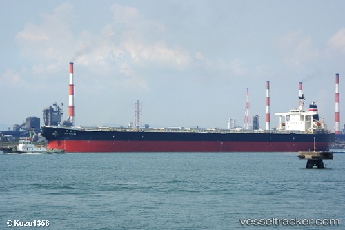
Sunny Link
Current StatusWhere is the vessel?
Sunny Link is currently in 295 nm SW of Port Refuge, based on AIS data received about 1h ago.
Latest AIS update:
Current position: 14.07931° S, 92.24786° E (295 nm SW of Port Refuge)
Average speed (last 7 days): Loading…
Average speed (last 30 days): Loading…
Vessel profile: Sunny Link is a Bulk Carrier with dimensions 45m x 289m.
This page combines live AIS, route history, probable destination signals, nearby traffic, and port activity for practical vessel monitoring.
The current position of vessel Sunny Link is -14.07931 lat / 92.24786 lng. Updated: 2026-04-16 19:59:30 UTCNearest reference points:
- Open sea, approx. 401 nm off the nearest listed port
- Open sea, approx. 403 nm off the nearest listed port
- Open sea, approx. 405 nm off the nearest listed port
Details:
Live Vessel Sunny Link Analytics (details, animations, etc.)
Recent AIS points (UTC):
2026-04-16 12:15:27 UTC · -14.74533, 91.13468 · SOG 10 kn · COG 61°2026-04-16 14:01:18 UTC · -14.60012, 91.39418 · SOG 9.8 kn · COG 61°
2026-04-16 16:01:56 UTC · -14.45678, 91.70031 · SOG 9.9 kn · COG -1°
2026-04-16 19:59:30 UTC · -14.07931, 92.24786 · SOG 10.1 kn · COG 59°