 vesseltracker.com
 Blue Nova
Current Status
Where is the vessel?
Blue Nova is currently in 80 nm NE of Pinos Puente, based on AIS data received about 3d ago.
Latest AIS update:
Current position: 38.19767° N, 33.64467° W (80 nm NE of Pinos Puente)
Average speed (last 7 days): Loading…
Average speed (last 30 days): Loading…
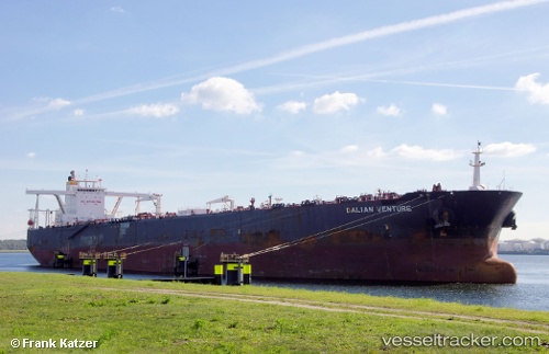
Vessel profile: Blue Nova is a Crude Oil Tanker with dimensions 330m x 330m.
This page combines live AIS, route history, probable destination signals, nearby traffic, and port activity for practical vessel monitoring.
The current position of vessel Blue Nova is 38.19767 lat / -33.64467 lng. Updated: 2026-04-06 03:19:08 UTCCurrently sailing under the flag of Liberia ![]()
Details:
Live Vessel Blue Nova Analytics (details, animations, etc.)
Recent AIS points (UTC):
2026-04-03 01:15:35 UTC · 45.66186, -19.42405 · SOG 10.7 kn · COG 245°2026-04-06 03:19:08 UTC · 38.19767, -33.64467 · SOG 7.2 kn · COG 266°
2026-04-06 03:19:08 UTC · 38.19767, -33.64467 · SOG 7.2 kn · COG 266°
2026-04-06 03:19:08 UTC · 38.19767, -33.64467 · SOG 7.2 kn · COG 266°