 vesseltracker.com
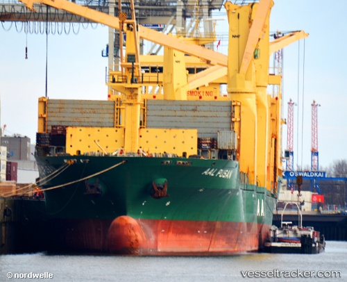
Aal Pusan
Current StatusWhere is the vessel?
Aal Pusan is currently in 170 nm W of Juazeiro-Pi, based on AIS data received less than 1h ago.
Latest AIS update:
Current position: 5.39430° N, 44.51680° W (170 nm W of Juazeiro-Pi)
Average speed (last 7 days): Loading…
Average speed (last 30 days): Loading…
Vessel profile: Aal Pusan is a Multi Purpose Carrier with dimensions 29m x 194m.
This page combines live AIS, route history, probable destination signals, nearby traffic, and port activity for practical vessel monitoring.
The current position of vessel Aal Pusan is 5.39430 lat / -44.51680 lng. Updated: 2026-04-22 07:53:18 UTCNearest reference points:
- 227 nm W of Juazeiro-Pi
Details:
Live Vessel Aal Pusan Analytics (details, animations, etc.)
Recent AIS points (UTC):
2026-04-22 04:48:48 UTC · 5.80188, -45.01398 · SOG 12.3 kn · COG 125°2026-04-22 05:41:07 UTC · 5.68687, -44.87326 · SOG 12.7 kn · COG 125°
2026-04-22 07:31:29 UTC · 5.44211, -44.57467 · SOG 12.2 kn · COG 127°
2026-04-22 07:53:18 UTC · 5.39430, -44.51680 · SOG 12.4 kn · COG 125°