 vesseltracker.com
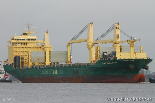
 Aal Dalian
Current Status
Where is the vessel?
Aal Dalian is currently in 173 nm SW of Falkenberg, based on AIS data received about 2h ago.
Latest AIS update:
Current position: 49.23170° N, 132.87062° W (173 nm SW of Falkenberg)
Average speed (last 7 days): Loading…
Average speed (last 30 days): Loading…
Vessel profile: Aal Dalian is a Multi Purpose Carrier with dimensions 193m x 28m.
This page combines live AIS, route history, probable destination signals, nearby traffic, and port activity for practical vessel monitoring.
The current position of vessel Aal Dalian is 49.23170 lat / -132.87062 lng. Updated: 2026-04-19 11:40:24 UTCCurrently sailing under the flag of Liberia ![]()
Aal Dalian built in 2013 year
Deadweight:
31000 tDetails:
Live Vessel Aal Dalian Analytics (details, animations, etc.)
Recent AIS points (UTC):
2026-04-19 07:59:23 UTC · 49.35103, -134.07140 · SOG 13 kn · COG 100°2026-04-19 09:54:54 UTC · 49.28930, -133.45039 · SOG 13.1 kn · COG 98°
2026-04-19 11:00:50 UTC · 49.25333, -133.08667 · SOG 13 kn · COG -1°
2026-04-19 11:40:24 UTC · 49.23170, -132.87062 · SOG 13 kn · COG 98°