 vesseltracker.com
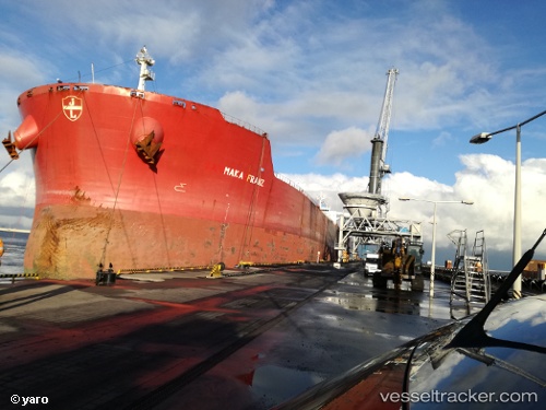
 Aquamaka
Current Status
Where is the vessel?
Aquamaka is currently in 100 nm SE of Mawella, based on AIS data received less than 1h ago.
Latest AIS update:
Current position: 4.45853° N, 81.38968° E (100 nm SE of Mawella)
Average speed (last 7 days): Loading…
Average speed (last 30 days): Loading…
Vessel profile: Aquamaka is a Bulk Carrier with dimensions 292m x 292m.
This page combines live AIS, route history, probable destination signals, nearby traffic, and port activity for practical vessel monitoring.
The current position of vessel Aquamaka is 4.45853 lat / 81.38968 lng. Updated: 2026-04-16 23:24:19 UTCNearest reference points:
- 53 nm SE of Konwelana
- 28 nm SW of Matara
- 36 nm S of Koggala
Currently sailing under the flag of Liberia ![]()
Aquamaka built in 2009 year
Deadweight:
179362 tDetails:
Live Vessel Aquamaka Analytics (details, animations, etc.)
Recent AIS points (UTC):
2026-04-16 15:00:30 UTC · 4.42245, 81.41003 · SOG 0.3 kn · COG 147°2026-04-16 19:16:43 UTC · 4.44262, 81.39922 · SOG 0.2 kn · COG 121°
2026-04-16 21:21:03 UTC · 4.44950, 81.39405 · SOG 0.4 kn · COG 109°
2026-04-16 23:24:19 UTC · 4.45853, 81.38968 · SOG 0.2 kn · COG -1°