 vesseltracker.com
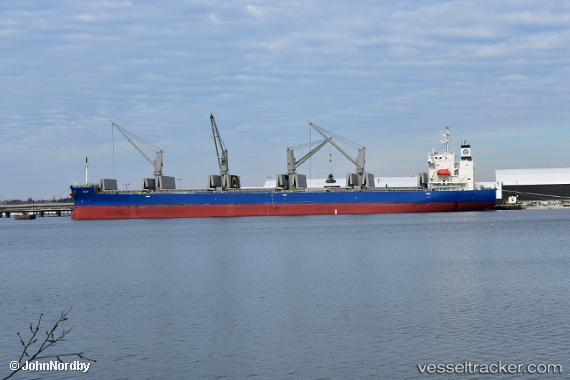
 Julia
Julia
Current Status
Where is the vessel?
Julia is currently in Near Shimizu, based on AIS data received about 1h ago.
Latest AIS update:
Current position: 34.99583° N, 138.49831° E (Near Shimizu)
Average speed (last 7 days): Loading…
Average speed (last 30 days): Loading…
Vessel profile: Julia is a Bulk Carrier with dimensions 180m x 30m.
This page combines live AIS, route history, probable destination signals, nearby traffic, and port activity for practical vessel monitoring.
The current position of vessel Julia is 34.99583 lat / 138.49831 lng. Updated: 2026-04-07 09:25:51 UTCNearest reference points:
- Near Shimizu
- Near OMAEZAKI
- Near Iruma
Currently sailing under the flag of Liberia ![]()
Details:
Live Vessel Julia Analytics (details, animations, etc.)
Recent AIS points (UTC):
2026-04-07 03:55:51 UTC · 34.99581, 138.49832 · SOG 0.1 kn · COG 139°2026-04-07 06:13:51 UTC · 34.99574, 138.49809 · SOG 0.1 kn · COG 139°
2026-04-07 08:05:10 UTC · 34.99584, 138.49828 · SOG 0 kn · COG -1°
2026-04-07 09:25:51 UTC · 34.99583, 138.49831 · SOG 0 kn · COG 139°