 vesseltracker.com
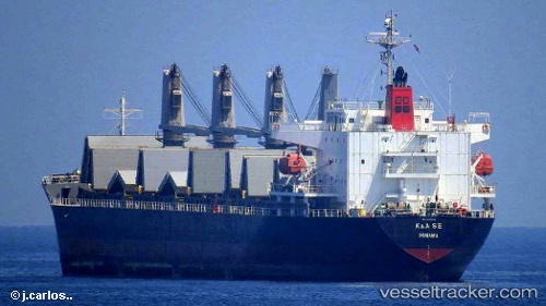
Irma S
Current StatusWhere is the vessel?
Irma S is currently in Near Isla Mayor, based on AIS data received about 89d ago.
Latest AIS update:
Current position: 37.02964° N, 6.13140° W (Near Isla Mayor)
Average speed (last 7 days): Loading…
Average speed (last 30 days): Loading…
Vessel profile: Irma S is a General Cargo Ship with dimensions 28m x 170m.
This page combines live AIS, route history, probable destination signals, nearby traffic, and port activity for practical vessel monitoring.
The current position of vessel Irma S is 37.02964 lat / -6.13140 lng. Updated: 2026-01-21 08:58:39 UTCNearest reference points:
- Near Trebujena
- Near CHIPIONA
- Near El Puerto de Santa María
Details:
Live Vessel Irma S Analytics (details, animations, etc.)
Recent AIS points (UTC):
2026-01-21 08:58:39 UTC · 37.02964, -6.13140 · SOG 11.4 kn · COG 254°