 vesseltracker.com
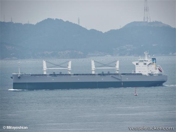
Mamma Mia
Current StatusWhere is the vessel?
Mamma Mia is currently in 42 nm SE of Dokdo, based on AIS data received about 1h ago.
Latest AIS update:
Current position: 36.64301° N, 132.32625° E (42 nm SE of Dokdo)
Average speed (last 7 days): Loading…
Average speed (last 30 days): Loading…
Vessel profile: Mamma Mia is a Bulk Carrier with dimensions 32m x 199m.
This page combines live AIS, route history, probable destination signals, nearby traffic, and port activity for practical vessel monitoring.
The current position of vessel Mamma Mia is 36.64301 lat / 132.32625 lng. Updated: 2026-04-01 15:51:20 UTCNearest reference points:
- 37 nm NW of NAKANOSHIMA
- 67 nm W of NAKANOSHIMA
- 63 nm NW of Unnan
Details:
Live Vessel Mamma Mia Analytics (details, animations, etc.)
Recent AIS points (UTC):
2026-04-01 10:03:57 UTC · 35.98707, 131.22485 · SOG 11 kn · COG -1°2026-04-01 11:38:12 UTC · 36.15740, 131.51447 · SOG 11.1 kn · COG -1°
2026-04-01 14:19:33 UTC · 36.46775, 132.00320 · SOG 11.7 kn · COG -1°
2026-04-01 15:51:20 UTC · 36.64301, 132.32625 · SOG 11.8 kn · COG 55°