 vesseltracker.com
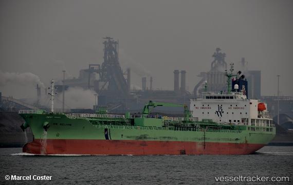
 LAVENDER RAY
Current Status
Where is the vessel?
LAVENDER RAY is currently in 11 nm E of Port Bolivar, based on AIS data received less than 1h ago.
Latest AIS update:
Current position: 29.31142° N, 94.54840° W (11 nm E of Port Bolivar)
Average speed (last 7 days): Loading…
Average speed (last 30 days): Loading…
Vessel profile: LAVENDER RAY is a Chemical/Oil Products Tanker with dimensions 24m x 147m.
This page combines live AIS, route history, probable destination signals, nearby traffic, and port activity for practical vessel monitoring.
The current position of vessel LAVENDER RAY is 29.31142 lat / -94.54840 lng. Updated: 2026-04-08 11:20:59 UTCNearest reference points:
- 12 nm SE of Port Bolivar
- Near Port Bolivar
- Near Texas City
Currently sailing under the flag of Liberia ![]()
LAVENDER RAY built in 2017 year
Deadweight:
19994 tDetails:
Live Vessel LAVENDER RAY Analytics (details, animations, etc.)
Recent AIS points (UTC):
2026-04-08 05:29:57 UTC · 29.31176, -94.54852 · SOG 0 kn · COG 78°2026-04-08 07:56:54 UTC · 29.31166, -94.54862 · SOG 0 kn · COG 64°
2026-04-08 10:02:57 UTC · 29.31136, -94.54831 · SOG 0 kn · COG 52°
2026-04-08 11:20:59 UTC · 29.31142, -94.54840 · SOG 0 kn · COG 58°