 vesseltracker.com
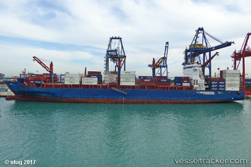
 Ete N
Ete N
Current Status
Where is the vessel?
Ete N is currently in 13 nm SW of Kattavía, based on AIS data received less than 1h ago.
Latest AIS update:
Current position: 35.85609° N, 27.51822° E (13 nm SW of Kattavía)
Average speed (last 7 days): Loading…
Average speed (last 30 days): Loading…
Vessel profile: Ete N is a Container Ship with dimensions 212m x 33m.
This page combines live AIS, route history, probable destination signals, nearby traffic, and port activity for practical vessel monitoring.
The current position of vessel Ete N is 35.85609 lat / 27.51822 lng. Updated: 2026-04-20 20:00:27 UTCNearest reference points:
- Near PANORMITIS
- Near Datça
- 13 nm E of Nisiros
Currently sailing under the flag of Liberia ![]()
Ete N built in 2012 year
Deadweight:
41139 tDetails:
Live Vessel Ete N Analytics (details, animations, etc.)
Recent AIS points (UTC):
2026-04-20 16:40:22 UTC · 35.28843, 28.13075 · SOG 13.2 kn · COG 324°2026-04-20 17:25:22 UTC · 35.41665, 28.00007 · SOG 13.4 kn · COG 321°
2026-04-20 19:17:57 UTC · 35.74242, 27.65482 · SOG 13.6 kn · COG 321°
2026-04-20 20:00:27 UTC · 35.85609, 27.51822 · SOG 13.8 kn · COG 314°