 vesseltracker.com
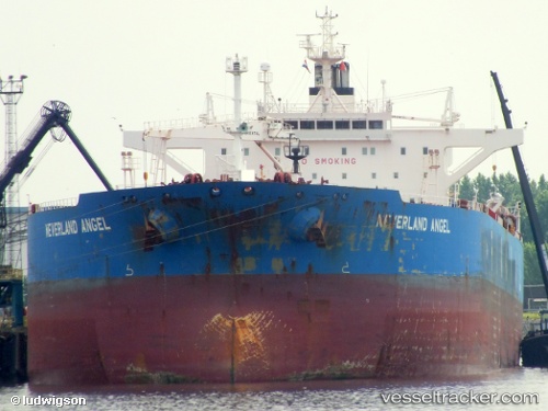
 Elandra Angel
Current Status
Where is the vessel?
Elandra Angel is currently in 131 nm NW of Port Mathurin, based on AIS data received less than 1h ago.
Latest AIS update:
Current position: 17.71393° S, 62.43492° E (131 nm NW of Port Mathurin)
Average speed (last 7 days): Loading…
Average speed (last 30 days): Loading…
Vessel profile: Elandra Angel is a Crude Oil Tanker with dimensions 249m x 44m.
This page combines live AIS, route history, probable destination signals, nearby traffic, and port activity for practical vessel monitoring.
The current position of vessel Elandra Angel is -17.71393 lat / 62.43492 lng. Updated: 2026-03-30 14:06:15 UTCNearest reference points:
- 106 nm NW of Port Mathurin
- 219 nm NW of Port Mathurin
- 241 nm N of Port Mathurin
Currently sailing under the flag of Liberia ![]()
Elandra Angel built in 2009 year
Deadweight:
115949 tDetails:
Live Vessel Elandra Angel Analytics (details, animations, etc.)
Recent AIS points (UTC):
2026-03-30 08:07:12 UTC · -18.45831, 61.40738 · SOG 12.4 kn · COG 54°2026-03-30 09:39:47 UTC · -18.27379, 61.67167 · SOG 12.3 kn · COG 53°
2026-03-30 11:25:28 UTC · -18.05395, 61.97828 · SOG 12.4 kn · COG 56°
2026-03-30 14:06:15 UTC · -17.71393, 62.43492 · SOG 12.2 kn · COG 51°