 vesseltracker.com
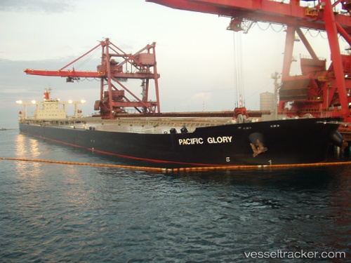
Cape Toucan
Current StatusWhere is the vessel?
Cape Toucan is currently in 102 nm SE of Terempa, based on AIS data received about 17h ago.
Latest AIS update:
Current position: 2.02305° N, 107.43085° E (102 nm SE of Terempa)
Average speed (last 7 days): Loading…
Average speed (last 30 days): Loading…
Vessel profile: Cape Toucan is a Ore Carrier with dimensions 55m x 317m.
This page combines live AIS, route history, probable destination signals, nearby traffic, and port activity for practical vessel monitoring.
The current position of vessel Cape Toucan is 2.02305 lat / 107.43085 lng. Updated: 2026-04-09 14:24:37 UTCNearest reference points:
- 45 nm E of Terempa
- 76 nm NE of KIJANG
- 34 nm SE of Ranai
Details:
Live Vessel Cape Toucan Analytics (details, animations, etc.)
Recent AIS points (UTC):
2026-04-09 14:05:55 UTC · 1.98928, 107.40330 · SOG 8.3 kn · COG 40°2026-04-09 14:24:37 UTC · 2.02305, 107.43085 · SOG 8.4 kn · COG 40°
2026-04-09 14:24:37 UTC · 2.02305, 107.43085 · SOG 8.4 kn · COG 40°
2026-04-09 14:24:37 UTC · 2.02305, 107.43085 · SOG 8.4 kn · COG 40°