 vesseltracker.com
 VIVALDI
Current Status
Where is the vessel?
VIVALDI is currently in Near Juruti, based on AIS data received less than 1h ago.
Latest AIS update:
Current position: 2.02278° S, 56.01454° W (Near Juruti)
Average speed (last 7 days): Loading…
Average speed (last 30 days): Loading…
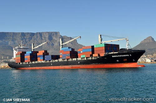
Vessel profile: VIVALDI is a Container Ship with dimensions 209m x 30m.
This page combines live AIS, route history, probable destination signals, nearby traffic, and port activity for practical vessel monitoring.
The current position of vessel VIVALDI is -2.02278 lat / -56.01454 lng. Updated: 2026-04-18 07:27:39 UTCNearest reference points:
- 15 nm NW of SANTAREM
- Near ITACOATIARA
Currently sailing under the flag of Liberia ![]()
VIVALDI built in 2010 year
Deadweight:
34264 tDetails:
Live Vessel VIVALDI Analytics (details, animations, etc.)
Recent AIS points (UTC):
2026-04-18 01:56:08 UTC · -2.56745, -57.07774 · SOG 14 kn · COG 37°2026-04-18 03:28:06 UTC · -2.61255, -56.73434 · SOG 12 kn · COG 86°
2026-04-18 06:23:09 UTC · -2.19140, -56.22202 · SOG 14.4 kn · COG 56°
2026-04-18 07:27:39 UTC · -2.02278, -56.01454 · SOG 14.2 kn · COG 40°