 vesseltracker.com
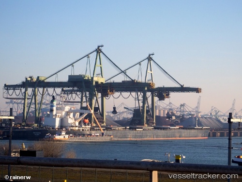
 PANTAGRUEL
Current Status
Where is the vessel?
PANTAGRUEL is currently in Near Manaus, based on AIS data received about 3d ago.
Latest AIS update:
Current position: 3.15995° S, 59.99706° W (Near Manaus)
Average speed (last 7 days): Loading…
Average speed (last 30 days): Loading…
Vessel profile: PANTAGRUEL is a Bulk Carrier with dimensions 289m x 45m.
This page combines live AIS, route history, probable destination signals, nearby traffic, and port activity for practical vessel monitoring.
The current position of vessel PANTAGRUEL is -3.15995 lat / -59.99706 lng. Updated: 2026-04-15 21:20:50 UTCNearest reference points:
- Near Manaus
- Near ITACOATIARA
Currently sailing under the flag of Liberia ![]()
PANTAGRUEL built in 2004 year
Deadweight:
180181 tDetails:
Live Vessel PANTAGRUEL Analytics (details, animations, etc.)
Recent AIS points (UTC):
2026-04-15 21:20:50 UTC · -3.15995, -59.99706 · SOG 0 kn · COG 346°2026-04-15 21:20:50 UTC · -3.15995, -59.99706 · SOG 0 kn · COG 346°
2026-04-15 21:20:50 UTC · -3.15995, -59.99706 · SOG 0 kn · COG 346°