 vesseltracker.com
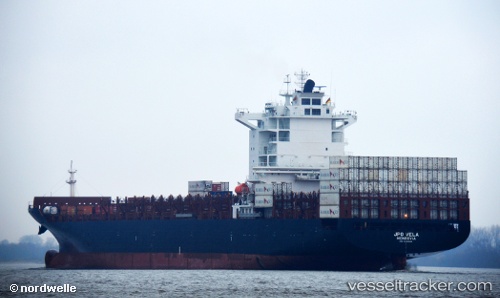
 VELA
VELA
Current Status
Where is the vessel?
VELA is currently in 34 nm S of Nudao, based on AIS data received about 1h ago.
Latest AIS update:
Current position: 35.81967° N, 120.97224° E (34 nm S of Nudao)
Average speed (last 7 days): Loading…
Average speed (last 30 days): Loading…
Vessel profile: VELA is a Container Ship with dimensions 264m x 264m.
This page combines live AIS, route history, probable destination signals, nearby traffic, and port activity for practical vessel monitoring.
The current position of vessel VELA is 35.81967 lat / 120.97224 lng. Updated: 2026-04-10 08:18:07 UTCNearest reference points:
- 36 nm SE of Qingdao
- 26 nm S of Nudao
- 43 nm SE of Qingdao
Currently sailing under the flag of Liberia ![]()
VELA built in 2009 year
Deadweight:
50420 tDetails:
Live Vessel VELA Analytics (details, animations, etc.)
Recent AIS points (UTC):
2026-04-10 01:51:03 UTC · 35.81668, 120.97183 · SOG 0 kn · COG 317°2026-04-10 03:48:03 UTC · 35.81774, 120.97265 · SOG 0.1 kn · COG 285°
2026-04-10 05:44:52 UTC · 35.81909, 120.97269 · SOG 0.1 kn · COG 244°
2026-04-10 08:18:07 UTC · 35.81967, 120.97224 · SOG 0.1 kn · COG 224°