 vesseltracker.com
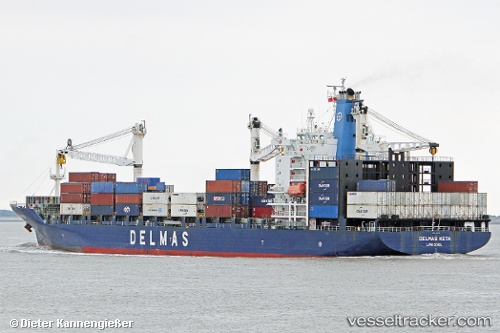
 KETA
KETA
Current Status
Where is the vessel?
KETA is currently in 114 nm SW of Kismaayo, based on AIS data received about 1d ago.
Latest AIS update:
Current position: 2.12377° S, 41.74314° E (114 nm SW of Kismaayo)
Average speed (last 7 days): Loading…
Average speed (last 30 days): Loading…
Vessel profile: KETA is a Container Ship with dimensions 196m x 30m.
This page combines live AIS, route history, probable destination signals, nearby traffic, and port activity for practical vessel monitoring.
The current position of vessel KETA is -2.12377 lat / 41.74314 lng. Updated: 2026-04-06 10:53:45 UTCNearest reference points:
- 11 nm SE of Mombasa
- Near Mombasa
Currently sailing under the flag of Liberia ![]()
KETA built in 2003 year
Deadweight:
30450 tDetails:
Live Vessel KETA Analytics (details, animations, etc.)
Recent AIS points (UTC):
2026-04-06 09:57:53 UTC · -2.17210, 41.52034 · SOG 14.9 kn · COG 76°2026-04-06 10:53:45 UTC · -2.12377, 41.74314 · SOG 15 kn · COG 79°
2026-04-06 10:53:45 UTC · -2.12377, 41.74314 · SOG 15 kn · COG 79°
2026-04-06 10:53:45 UTC · -2.12377, 41.74314 · SOG 15 kn · COG 79°