 vesseltracker.com
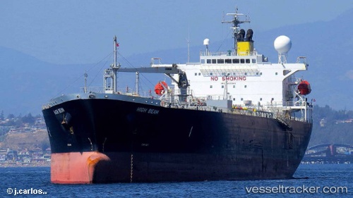
Vessel IMPERIAL IMO: 9400849, MMSI: 636019929 Oil Products Tanker
UTC, 6.09013, 96.85613, course: 283, speed: 14.4
UTC, 6.18268, 96.40297, course: 285, speed: 14.1
2026-03-02 05:30:34 UTC, 6.18268, 96.40297, course: 285, speed: 14.1
Live AIS position:
UTC. 63 nm NE of MALAHAYATI),
updated 2026-03-02 05:30:34 UTC.
Find the position of the vessel IMPERIAL on the map. The latter are known coordinates and path.
marine traffic ship tracker show on live map
The current position of vessel IMPERIAL is 6.18268 lat / 96.40297 lng. Updated: 2026-03-02 05:30:34 UTCCurrently sailing under the flag of Liberia
IMPERIAL built in 2009 year
Deadweight:
46646 tDetails:
Last coordinates of the vessel:
UTC, 6.09013, 96.85613, course: 283, speed: 14.4UTC, 6.09013, 96.85613, course: 283, speed: 14.4
UTC, 6.18268, 96.40297, course: 285, speed: 14.1
2026-03-02 05:30:34 UTC, 6.18268, 96.40297, course: 285, speed: 14.1