 vesseltracker.com
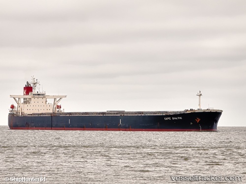
 GOODSHIP
Current Status
Where is the vessel?
GOODSHIP is currently in 15 nm SW of Goudiniweg, based on AIS data received less than 1h ago.
Latest AIS update:
Current position: 34.83436° S, 19.18644° E (15 nm SW of Goudiniweg)
Average speed (last 7 days): Loading…
Average speed (last 30 days): Loading…
Vessel profile: GOODSHIP is a Bulk Carrier with dimensions 45m x 289m.
This page combines live AIS, route history, probable destination signals, nearby traffic, and port activity for practical vessel monitoring.
The current position of vessel GOODSHIP is -34.83436 lat / 19.18644 lng. Updated: 2026-04-13 04:04:30 UTCNearest reference points:
- 15 nm SE of Moorreesburg
- Near Mitchells Plain
- 18 nm SW of Cape Of Good Hope
Currently sailing under the flag of Liberia ![]()
GOODSHIP built in 2005 year
Deadweight:
177536 tDetails:
Live Vessel GOODSHIP Analytics (details, animations, etc.)
Recent AIS points (UTC):
2026-04-12 21:26:00 UTC · -34.94391, 20.79097 · SOG 11.7 kn · COG 263°2026-04-13 00:03:11 UTC · -34.97608, 20.15624 · SOG 12.1 kn · COG 259°
2026-04-13 01:26:41 UTC · -34.99249, 19.80718 · SOG 12.7 kn · COG 266°
2026-04-13 04:04:30 UTC · -34.83436, 19.18644 · SOG 12.3 kn · COG 296°