 vesseltracker.com
 MOUNT SONG
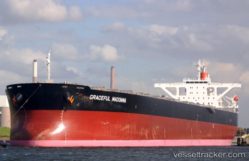
Current Status
Where is the vessel?
MOUNT SONG is currently in Near Taku Bar, based on AIS data received about 1h ago.
Latest AIS update:
Current position: 38.83973° N, 118.19260° E (Near Taku Bar)
Average speed (last 7 days): Loading…
Average speed (last 30 days): Loading…
Vessel profile: MOUNT SONG is a Bulk Carrier with dimensions 288m x 45m.
This page combines live AIS, route history, probable destination signals, nearby traffic, and port activity for practical vessel monitoring.
The current position of vessel MOUNT SONG is 38.83973 lat / 118.19260 lng. Updated: 2026-03-28 04:00:44 UTCNearest reference points:
- Near Taku Bar
- Near Dagu Bar
- 15 nm SE of Taku Bar
Currently sailing under the flag of Liberia ![]()
MOUNT SONG built in 2010 year
Deadweight:
180242 tDetails:
Live Vessel MOUNT SONG Analytics (details, animations, etc.)
Recent AIS points (UTC):
2026-03-27 21:30:51 UTC · 38.84042, 118.18637 · SOG 0.1 kn · COG -1°2026-03-28 00:03:44 UTC · 38.83872, 118.18717 · SOG 0 kn · COG 61°
2026-03-28 01:39:43 UTC · 38.83817, 118.19130 · SOG 0 kn · COG 332°
2026-03-28 04:00:44 UTC · 38.83973, 118.19260 · SOG 0.1 kn · COG 290°