 vesseltracker.com
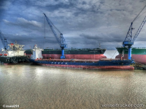
 CELESTE NOVA
Current Status
Where is the vessel?
CELESTE NOVA is currently in 92 nm NE of Enmore, based on AIS data received about 2h ago.
Latest AIS update:
Current position: 8.02302° N, 57.09111° W (92 nm NE of Enmore)
Average speed (last 7 days): Loading…
Average speed (last 30 days): Loading…
Vessel profile: CELESTE NOVA is a Crude Oil Tanker with dimensions 60m x 333m.
This page combines live AIS, route history, probable destination signals, nearby traffic, and port activity for practical vessel monitoring.
The current position of vessel CELESTE NOVA is 8.02302 lat / -57.09111 lng. Updated: 2026-03-26 17:37:10 UTCNearest reference points:
- 57 nm NE of Adventure
- 38 nm NW of Jarikaba
- Near Paramaribo Zorg en Hoop Airport
Currently sailing under the flag of Liberia ![]()
CELESTE NOVA built in 2013 year
Deadweight:
318510 tDetails:
Live Vessel CELESTE NOVA Analytics (details, animations, etc.)
Recent AIS points (UTC):
2026-03-26 12:02:45 UTC · 8.06921, -57.10972 · SOG 2.6 kn · COG 40°2026-03-26 14:09:44 UTC · 8.10506, -57.19434 · SOG 2.4 kn · COG 21°
2026-03-26 16:19:57 UTC · 8.01604, -57.06107 · SOG 3.4 kn · COG 119°
2026-03-26 17:37:10 UTC · 8.02302, -57.09111 · SOG 2.8 kn · COG 153°