 vesseltracker.com
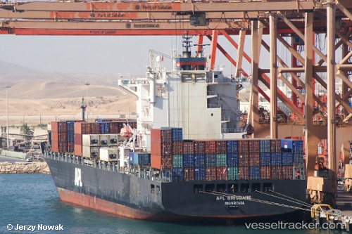
 IRENES RAY
Current Status
Where is the vessel?
IRENES RAY is currently in 42 nm NE of Kampung Tanjung Langsat, based on AIS data received less than 1h ago.
Latest AIS update:
Current position: 1.97528° N, 104.48730° E (42 nm NE of Kampung Tanjung Langsat)
Average speed (last 7 days): Loading…
Average speed (last 30 days): Loading…
Vessel profile: IRENES RAY is a Container Ship with dimensions 223m x 223m.
This page combines live AIS, route history, probable destination signals, nearby traffic, and port activity for practical vessel monitoring.
The current position of vessel IRENES RAY is 1.97528 lat / 104.48730 lng. Updated: 2026-04-17 15:44:06 UTCNearest reference points:
- 47 nm NE of PENGERANG
- 52 nm NE of PENGERANG
- 53 nm NE of PENGERANG
Currently sailing under the flag of Liberia ![]()
IRENES RAY built in 2006 year
Deadweight:
44132 tDetails:
Live Vessel IRENES RAY Analytics (details, animations, etc.)
Recent AIS points (UTC):
2026-04-17 09:40:05 UTC · 3.06918, 104.93200 · SOG 16 kn · COG -1°2026-04-17 11:49:12 UTC · 2.53352, 104.74587 · SOG 16 kn · COG -1°
2026-04-17 13:30:49 UTC · 2.10640, 104.55783 · SOG 16.1 kn · COG -1°
2026-04-17 15:44:06 UTC · 1.97528, 104.48730 · SOG 0.6 kn · COG -1°