 vesseltracker.com
 POROS
POROS
Current Status
Where is the vessel?
POROS is currently in Open sea (no nearby ports in database), based on AIS data received about 15d ago.
Latest AIS update:
Current position: 34.54847° S, 62.25215° E (Open sea (no nearby ports in database))
Average speed (last 7 days): Loading…
Average speed (last 30 days): Loading…
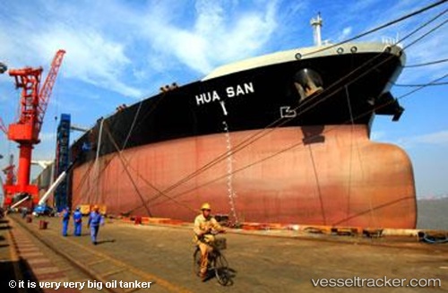
Vessel profile: POROS is a Crude Oil Tanker with dimensions 60m x 333m.
This page combines live AIS, route history, probable destination signals, nearby traffic, and port activity for practical vessel monitoring.
The current position of vessel POROS is -34.54847 lat / 62.25215 lng. Updated: 2026-03-13 08:15:26 UTCNearest reference points:
- Open sea (no nearby ports in database)
Currently sailing under the flag of Liberia ![]()
POROS built in 2008 year
Deadweight:
318068 tDetails:
Live Vessel POROS Analytics (details, animations, etc.)
Recent AIS points (UTC):
2026-03-13 08:15:26 UTC · -34.54847, 62.25215 · SOG 0.3 kn · COG 339°