 vesseltracker.com
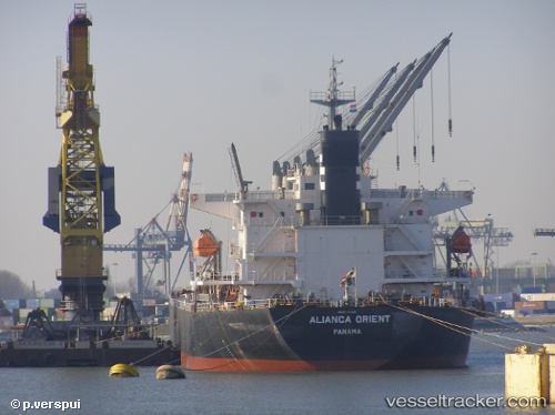
 S BREEZE
Current Status
Where is the vessel?
S BREEZE is currently in Near Kumport, based on AIS data received less than 1h ago.
Latest AIS update:
Current position: 40.85558° N, 28.89305° E (Near Kumport)
Average speed (last 7 days): Loading…
Average speed (last 30 days): Loading…
Vessel profile: S BREEZE is a Bulk Carrier with dimensions 190m x 32.29m.
This page combines live AIS, route history, probable destination signals, nearby traffic, and port activity for practical vessel monitoring.
The current position of vessel S BREEZE is 40.85558 lat / 28.89305 lng. Updated: 2026-04-19 07:27:03 UTCNearest reference points:
- Near Kumport
- 10 nm SE of Kumport
- Near BAKIRKOY
Currently sailing under the flag of Liberia ![]()
S BREEZE built in 2006 year
Deadweight:
52454 tDetails:
Live Vessel S BREEZE Analytics (details, animations, etc.)
Recent AIS points (UTC):
2026-04-19 01:45:25 UTC · 40.81316, 28.78839 · SOG 8.4 kn · COG 49°2026-04-19 03:59:54 UTC · 40.80763, 28.92719 · SOG 1.5 kn · COG 160°
2026-04-19 05:59:55 UTC · 40.77658, 28.88904 · SOG 1 kn · COG 276°
2026-04-19 07:27:03 UTC · 40.85558, 28.89305 · SOG 11.9 kn · COG 41°