 vesseltracker.com
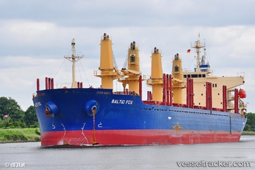
 HAKE
HAKE
Current Status
Where is the vessel?
HAKE is currently in 20 nm S of Covent Garden, based on AIS data received about 1h ago.
Latest AIS update:
Current position: 51.16572° N, 8.10128° W (20 nm S of Covent Garden)
Average speed (last 7 days): Loading…
Average speed (last 30 days): Loading…
Vessel profile: HAKE is a Bulk Carrier with dimensions 29m x 175m.
This page combines live AIS, route history, probable destination signals, nearby traffic, and port activity for practical vessel monitoring.
The current position of vessel HAKE is 51.16572 lat / -8.10128 lng. Updated: 2026-03-28 18:24:14 UTCNearest reference points:
- Near Covent Garden
- Near Cobn
- 45 nm SE of Covent Garden
Currently sailing under the flag of Liberia ![]()
HAKE built in 2010 year
Deadweight:
31883 tDetails:
Live Vessel HAKE Analytics (details, animations, etc.)
Recent AIS points (UTC):
2026-03-28 11:26:03 UTC · 50.80105, -10.05495 · SOG 11.2 kn · COG -1°2026-03-28 13:38:53 UTC · 50.87488, -9.40712 · SOG 11 kn · COG 77°
2026-03-28 16:16:23 UTC · 50.98762, -8.66015 · SOG 10.8 kn · COG 63°
2026-03-28 18:24:14 UTC · 51.16572, -8.10128 · SOG 11.2 kn · COG 64°