 vesseltracker.com
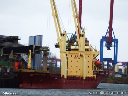
 SKYLINE
Current Status
Where is the vessel?
SKYLINE is currently in 296 nm S of Ocean Island, based on AIS data received about 1h ago.
Latest AIS update:
Current position: 5.80091° S, 169.83449° E (296 nm S of Ocean Island)
Average speed (last 7 days): Loading…
Average speed (last 30 days): Loading…
Vessel profile: SKYLINE is a General Cargo Ship with dimensions 20m x 117m.
This page combines live AIS, route history, probable destination signals, nearby traffic, and port activity for practical vessel monitoring.
The current position of vessel SKYLINE is -5.80091 lat / 169.83449 lng. Updated: 2026-04-19 19:38:59 UTCNearest reference points:
- Open sea, approx. 413 nm off the nearest listed port
- Open sea, approx. 411 nm off the nearest listed port
- Open sea, approx. 404 nm off the nearest listed port
Currently sailing under the flag of Liberia ![]()
SKYLINE built in 2007 year
Deadweight:
7709 tDetails:
Live Vessel SKYLINE Analytics (details, animations, etc.)
Recent AIS points (UTC):
2026-04-19 15:24:42 UTC · -5.22204, 169.49696 · SOG 9 kn · COG 145°2026-04-19 16:57:35 UTC · -5.42833, 169.61501 · SOG 9 kn · COG -1°
2026-04-19 17:36:29 UTC · -5.51833, 169.66499 · SOG 9 kn · COG -1°
2026-04-19 19:38:59 UTC · -5.80091, 169.83449 · SOG 9.7 kn · COG 144°