 vesseltracker.com
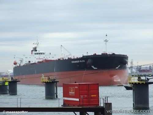
 ATLANTIS
Current Status
Where is the vessel?
ATLANTIS is currently in 34 nm N of Langsa Venture FPSO, based on AIS data received less than 1h ago.
Latest AIS update:
Current position: 5.88486° N, 97.99038° E (34 nm N of Langsa Venture FPSO)
Average speed (last 7 days): Loading…
Average speed (last 30 days): Loading…
Vessel profile: ATLANTIS is a Crude Oil Tanker with dimensions 228m x 229m.
This page combines live AIS, route history, probable destination signals, nearby traffic, and port activity for practical vessel monitoring.
The current position of vessel ATLANTIS is 5.88486 lat / 97.99038 lng. Updated: 2026-04-19 10:28:11 UTCNearest reference points:
- 34 nm N of Langsa Venture FPSO
- 45 nm N of Langsa Venture FPSO
- 18 nm E of Langsa Venture FPSO
Currently sailing under the flag of Liberia ![]()
ATLANTIS built in 2008 year
Deadweight:
105400 tDetails:
Live Vessel ATLANTIS Analytics (details, animations, etc.)
Recent AIS points (UTC):
2026-04-19 03:43:08 UTC · 5.05957, 98.77767 · SOG 9.6 kn · COG -1°2026-04-19 07:45:40 UTC · 5.53784, 98.33084 · SOG 9.9 kn · COG 315°
2026-04-19 08:57:59 UTC · 5.69005, 98.18667 · SOG 10.9 kn · COG -1°
2026-04-19 10:28:11 UTC · 5.88486, 97.99038 · SOG 11.4 kn · COG -1°