 vesseltracker.com
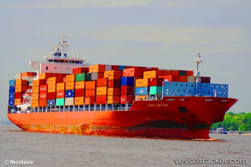
 MATSON MOLOKAI
Current Status
Where is the vessel?
MATSON MOLOKAI is currently in Near Jakarta, based on AIS data received about 1h ago.
Latest AIS update:
Current position: 6.09614° S, 106.89212° E (Near Jakarta)
Average speed (last 7 days): Loading…
Average speed (last 30 days): Loading…
Vessel profile: MATSON MOLOKAI is a Container Ship with dimensions 222m x 30m.
This page combines live AIS, route history, probable destination signals, nearby traffic, and port activity for practical vessel monitoring.
The current position of vessel MATSON MOLOKAI is -6.09614 lat / 106.89212 lng. Updated: 2026-04-02 09:38:32 UTCNearest reference points:
- Near Jakarta
- Near Ancol
- Near New Priok Port
Currently sailing under the flag of Liberia ![]()
MATSON MOLOKAI built in 2007 year
Deadweight:
39276 tDetails:
Live Vessel MATSON MOLOKAI Analytics (details, animations, etc.)
Recent AIS points (UTC):
2026-04-02 03:23:08 UTC · -5.68667, 108.08333 · SOG 17 kn · COG -1°2026-04-02 05:55:37 UTC · -5.69130, 107.34473 · SOG 17.6 kn · COG -1°
2026-04-02 07:42:33 UTC · -5.82030, 106.91567 · SOG 12.9 kn · COG 194°
2026-04-02 09:38:32 UTC · -6.09614, 106.89212 · SOG 1.7 kn · COG 100°