 vesseltracker.com
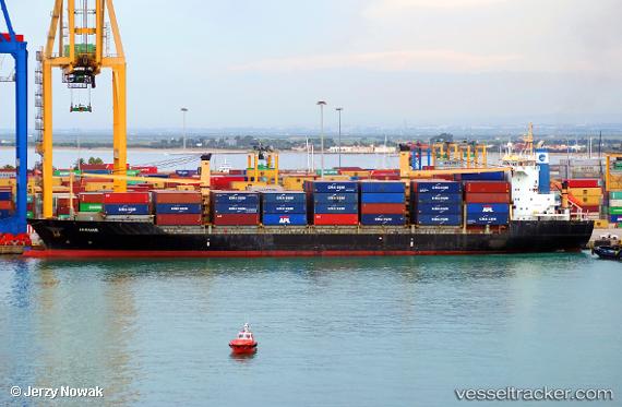
 JAGUAR
Current Status
Where is the vessel?
JAGUAR is currently in 72 nm NE of Tubruq, based on AIS data received about 1h ago.
Latest AIS update:
Current position: 33.06509° N, 24.77637° E (72 nm NE of Tubruq)
Average speed (last 7 days): Loading…
Average speed (last 30 days): Loading…
Vessel profile: JAGUAR is a Container Ship with dimensions m x m.
This page combines live AIS, route history, probable destination signals, nearby traffic, and port activity for practical vessel monitoring.
The current position of vessel JAGUAR is 33.06509 lat / 24.77637 lng. Updated: 2026-04-19 11:03:49 UTCNearest reference points:
- 67 nm S of Kali Limenes
- Near Kali Limenes
- Near Iraklion
Currently sailing under the flag of Liberia ![]()
Details:
Live Vessel JAGUAR Analytics (details, animations, etc.)
Recent AIS points (UTC):
2026-04-19 07:18:29 UTC · 32.70797, 25.68391 · SOG 13.5 kn · COG -1°2026-04-19 09:43:42 UTC · 32.94029, 25.10552 · SOG 13.3 kn · COG -1°
2026-04-19 10:08:44 UTC · 32.97996, 24.99949 · SOG 13.3 kn · COG -1°
2026-04-19 11:03:49 UTC · 33.06509, 24.77637 · SOG 13.3 kn · COG -1°