 vesseltracker.com
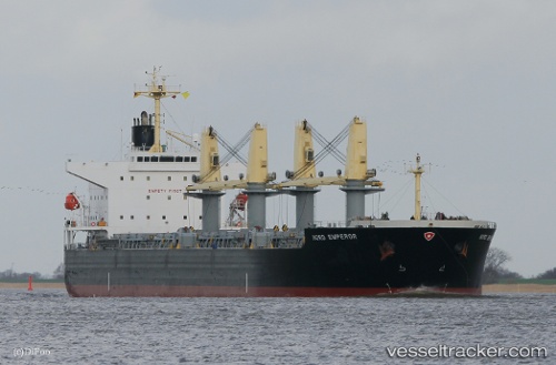
 BULK MANARA
Current Status
Where is the vessel?
BULK MANARA is currently in Near Balabac, Palawan, based on AIS data received about 1h ago.
Latest AIS update:
Current position: 7.90956° N, 117.17059° E (Near Balabac, Palawan)
Average speed (last 7 days): Loading…
Average speed (last 30 days): Loading…
Vessel profile: BULK MANARA is a Bulk Carrier with dimensions 190m x 32m.
This page combines live AIS, route history, probable destination signals, nearby traffic, and port activity for practical vessel monitoring.
The current position of vessel BULK MANARA is 7.90956 lat / 117.17059 lng. Updated: 2026-04-16 13:36:48 UTCNearest reference points:
- 35 nm SE of Brookes Point, Palawan
- Near Kota Kinabalu
- 70 nm W of Puerto Princesa
Currently sailing under the flag of Liberia ![]()
BULK MANARA built in 2010 year
Deadweight:
55692 tDetails:
Live Vessel BULK MANARA Analytics (details, animations, etc.)
Recent AIS points (UTC):
2026-04-15 20:56:08 UTC · 6.92861, 114.61763 · SOG 10 kn · COG 73°2026-04-16 09:38:23 UTC · 7.56669, 116.65076 · SOG 10.1 kn · COG 70°
2026-04-16 12:06:19 UTC · 7.68626, 117.04430 · SOG 10.5 kn · COG 59°
2026-04-16 13:36:48 UTC · 7.90956, 117.17059 · SOG 11 kn · COG 31°