 vesseltracker.com
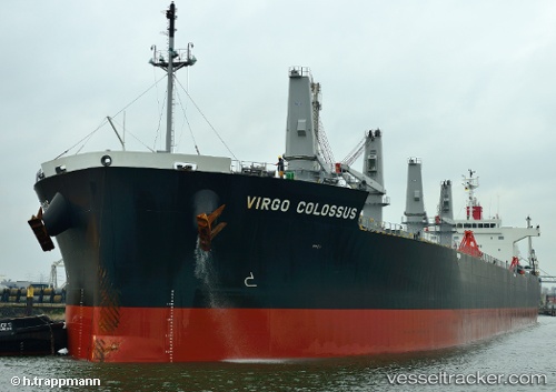
 DOLCE VITA
Current Status
Where is the vessel?
DOLCE VITA is currently in 17 nm SW of Holbury, based on AIS data received less than 1h ago.
Latest AIS update:
Current position: 50.24441° N, 1.50196° W (17 nm SW of Holbury)
Average speed (last 7 days): Loading…
Average speed (last 30 days): Loading…
Vessel profile: DOLCE VITA is a Bulk Carrier with dimensions 32m x 200m.
This page combines live AIS, route history, probable destination signals, nearby traffic, and port activity for practical vessel monitoring.
The current position of vessel DOLCE VITA is 50.24441 lat / -1.50196 lng. Updated: 2026-04-13 08:27:16 UTCNearest reference points:
- 22 nm S of Holbury
- 20 nm S of Holbury
- 11 nm SW of Holbury
Currently sailing under the flag of Liberia ![]()
DOLCE VITA built in 2012 year
Deadweight:
61616 tDetails:
Live Vessel DOLCE VITA Analytics (details, animations, etc.)
Recent AIS points (UTC):
2026-04-13 01:27:26 UTC · 50.60410, 0.47161 · SOG 12.5 kn · COG 254°2026-04-13 04:19:46 UTC · 50.44789, -0.37505 · SOG 10.7 kn · COG 255°
2026-04-13 06:08:05 UTC · 50.36290, -0.84637 · SOG 10.3 kn · COG 254°
2026-04-13 08:27:16 UTC · 50.24441, -1.50196 · SOG 12.5 kn · COG 255°