 vesseltracker.com
 JOHNNY RANGER
Current Status
Where is the vessel?
JOHNNY RANGER is currently in 127 nm NW of Isla de Margarita, based on AIS data received less than 1h ago.
Latest AIS update:
Current position: 12.84065° N, 65.05381° W (127 nm NW of Isla de Margarita)
Average speed (last 7 days): Loading…
Average speed (last 30 days): Loading…
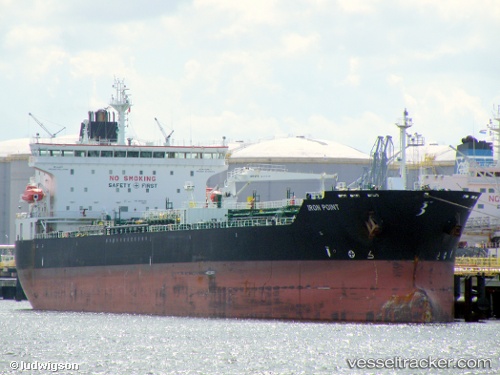
Vessel profile: JOHNNY RANGER is a Chemical/Oil Products Tanker with dimensions 32m x 182m.
This page combines live AIS, route history, probable destination signals, nearby traffic, and port activity for practical vessel monitoring.
The current position of vessel JOHNNY RANGER is 12.84065 lat / -65.05381 lng. Updated: 2026-04-14 16:08:14 UTCNearest reference points:
- 15 nm SW of Punta de Piedras
- Near Puerto Sucre
Currently sailing under the flag of Liberia ![]()
JOHNNY RANGER built in 2008 year
Deadweight:
50922 tDetails:
Live Vessel JOHNNY RANGER Analytics (details, animations, etc.)
Recent AIS points (UTC):
2026-04-14 09:48:10 UTC · 12.28222, -63.69577 · SOG 13.1 kn · COG 295°2026-04-14 12:03:14 UTC · 12.49489, -64.17323 · SOG 14.6 kn · COG 288°
2026-04-14 14:03:15 UTC · 12.66662, -64.63259 · SOG 13.7 kn · COG 288°
2026-04-14 16:08:14 UTC · 12.84065, -65.05381 · SOG 12.6 kn · COG 295°