 vesseltracker.com
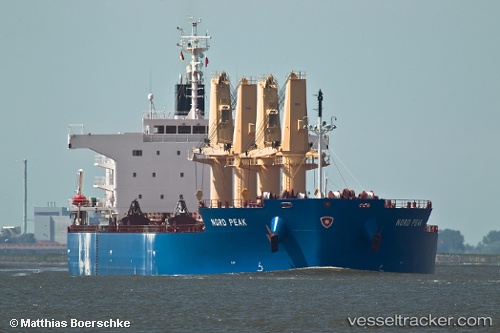
 SV ARISTA
Current Status
Where is the vessel?
SV ARISTA is currently in Near Bnei Darom, based on AIS data received about 1h ago.
Latest AIS update:
Current position: 31.68429° N, 31.72219° E (Near Bnei Darom)
Average speed (last 7 days): Loading…
Average speed (last 30 days): Loading…
Vessel profile: SV ARISTA is a Bulk Carrier with dimensions m x m.
This page combines live AIS, route history, probable destination signals, nearby traffic, and port activity for practical vessel monitoring.
The current position of vessel SV ARISTA is 31.68429 lat / 31.72219 lng. Updated: 2026-04-20 00:06:13 UTCNearest reference points:
- Near Damietta
- 21 nm N of Port Said
- 15 nm N of Port Said
Currently sailing under the flag of Liberia ![]()
Details:
Live Vessel SV ARISTA Analytics (details, animations, etc.)
Recent AIS points (UTC):
2026-04-19 19:06:10 UTC · 31.68414, 31.72211 · SOG 0.1 kn · COG 304°2026-04-19 22:09:12 UTC · 31.68428, 31.72215 · SOG 0.1 kn · COG 298°
2026-04-19 22:13:48 UTC · 31.68433, 31.72220 · SOG 0.1 kn · COG -1°
2026-04-20 00:06:13 UTC · 31.68429, 31.72219 · SOG 0 kn · COG 298°