 vesseltracker.com
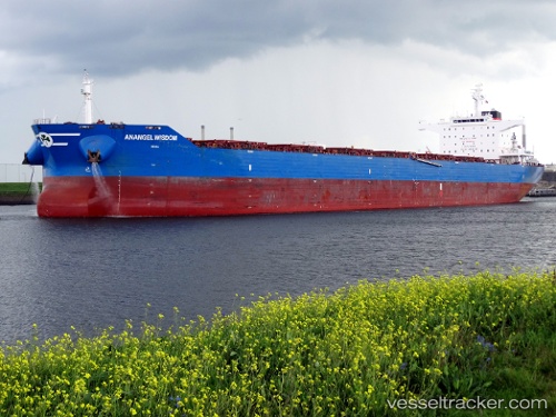
 MARINE WISDOM
Current Status
Where is the vessel?
MARINE WISDOM is currently in 146 nm NW of Broome, based on AIS data received less than 1h ago.
Latest AIS update:
Current position: 16.94658° S, 119.86585° E (146 nm NW of Broome)
Average speed (last 7 days): Loading…
Average speed (last 30 days): Loading…
Vessel profile: MARINE WISDOM is a Bulk Carrier with dimensions 43m x 250m.
This page combines live AIS, route history, probable destination signals, nearby traffic, and port activity for practical vessel monitoring.
The current position of vessel MARINE WISDOM is -16.94658 lat / 119.86585 lng. Updated: 2026-04-20 17:40:08 UTCNearest reference points:
- 133 nm W of Broome
- 185 nm NE of Mutineer
- 116 nm NE of Mutineer
Currently sailing under the flag of Liberia ![]()
MARINE WISDOM built in 2014 year
Deadweight:
114046 tDetails:
Live Vessel MARINE WISDOM Analytics (details, animations, etc.)
Recent AIS points (UTC):
2026-04-20 13:43:39 UTC · -16.30605, 120.16572 · SOG 10.9 kn · COG 210°2026-04-20 14:18:29 UTC · -16.40151, 120.11984 · SOG 10.7 kn · COG 211°
2026-04-20 16:14:56 UTC · -16.71964, 119.96877 · SOG 10.1 kn · COG 203°
2026-04-20 17:40:08 UTC · -16.94658, 119.86585 · SOG 10.4 kn · COG 206°