 vesseltracker.com
 MARINE HONOR
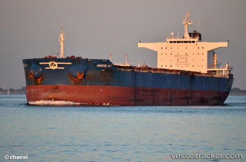
Current Status
Where is the vessel?
MARINE HONOR is currently in 17 nm E of DALRYMPLE, based on AIS data received less than 1h ago.
Latest AIS update:
Current position: 21.15906° S, 149.57387° E (17 nm E of DALRYMPLE)
Average speed (last 7 days): Loading…
Average speed (last 30 days): Loading…
Vessel profile: MARINE HONOR is a Bulk Carrier with dimensions 43m x 250m.
This page combines live AIS, route history, probable destination signals, nearby traffic, and port activity for practical vessel monitoring.
The current position of vessel MARINE HONOR is -21.15906 lat / 149.57387 lng. Updated: 2026-04-23 06:18:17 UTCNearest reference points:
- Near Mackay
- Near Whitsunday Island
- Near AIRLIE
Currently sailing under the flag of Liberia ![]()
MARINE HONOR built in 2011 year
Deadweight:
114078 tDetails:
Live Vessel MARINE HONOR Analytics (details, animations, etc.)
Recent AIS points (UTC):
2026-04-23 01:06:18 UTC · -21.15967, 149.57330 · SOG 0.7 kn · COG 108°2026-04-23 04:09:17 UTC · -21.16032, 149.57304 · SOG 0.5 kn · COG 96°
2026-04-23 04:51:18 UTC · -21.15928, 149.57349 · SOG 0.6 kn · COG 120°
2026-04-23 06:18:17 UTC · -21.15906, 149.57387 · SOG 0.9 kn · COG 154°