 vesseltracker.com
 CAPE KOURION
Current Status
Where is the vessel?
CAPE KOURION is currently in 29 nm NW of Sangwangdeungdo, based on AIS data received about 13h ago.
Latest AIS update:
Current position: 36.05972° N, 125.81522° E (29 nm NW of Sangwangdeungdo)
Average speed (last 7 days): Loading…
Average speed (last 30 days): Loading…
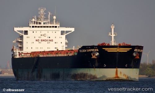
Vessel profile: CAPE KOURION is a Bulk Carrier with dimensions 229m x 32m.
This page combines live AIS, route history, probable destination signals, nearby traffic, and port activity for practical vessel monitoring.
The current position of vessel CAPE KOURION is 36.05972 lat / 125.81522 lng. Updated: 2026-04-10 07:41:43 UTCNearest reference points:
- 19 nm NW of Sangwangdeungdo
- 22 nm W of Biin
- 13 nm W of BORYEONG
Currently sailing under the flag of Liberia ![]()
CAPE KOURION built in 2010 year
Deadweight:
79471 tDetails:
Live Vessel CAPE KOURION Analytics (details, animations, etc.)
Recent AIS points (UTC):
2026-04-10 01:11:54 UTC · 34.73738, 125.62095 · SOG 12.6 kn · COG 3°2026-04-10 01:11:54 UTC · 34.73738, 125.62095 · SOG 12.6 kn · COG 3°
2026-04-10 01:11:54 UTC · 34.73738, 125.62095 · SOG 12.6 kn · COG 3°
2026-04-10 07:41:43 UTC · 36.05972, 125.81522 · SOG 12.6 kn · COG 12°