 vesseltracker.com
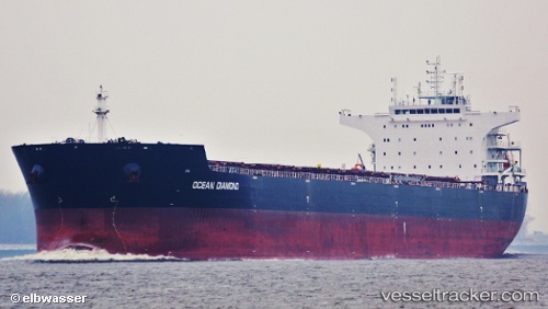
 HONG G
Current Status
Where is the vessel?
HONG G is currently in 16 nm W of Vescovato, based on AIS data received less than 1h ago.
Latest AIS update:
Current position: 42.47910° N, 9.79649° W (16 nm W of Vescovato)
Average speed (last 7 days): Loading…
Average speed (last 30 days): Loading…
Vessel profile: HONG G is a Bulk Carrier with dimensions 229m x 229m.
This page combines live AIS, route history, probable destination signals, nearby traffic, and port activity for practical vessel monitoring.
The current position of vessel HONG G is 42.47910 lat / -9.79649 lng. Updated: 2026-04-18 05:51:11 UTCNearest reference points:
- 40 nm NW of Sarinena
- Near Portosin
- 11 nm S of Sarinena
Currently sailing under the flag of Liberia ![]()
HONG G built in 2012 year
Deadweight:
93025 tDetails:
Live Vessel HONG G Analytics (details, animations, etc.)
Recent AIS points (UTC):
2026-04-17 23:24:53 UTC · 41.39547, -9.81075 · SOG 10.2 kn · COG 0°2026-04-18 01:22:22 UTC · 41.72670, -9.80412 · SOG 10 kn · COG 359°
2026-04-18 03:33:41 UTC · 42.09287, -9.80122 · SOG 10.2 kn · COG 0°
2026-04-18 05:51:11 UTC · 42.47910, -9.79649 · SOG 10 kn · COG 1°