 vesseltracker.com
 ANNIE
ANNIE
Current Status
Where is the vessel?
ANNIE is currently in 33 nm NW of San Jose Apt, Mindoro, based on AIS data received about 1h ago.
Latest AIS update:
Current position: 12.72500° N, 120.68167° E (33 nm NW of San Jose Apt, Mindoro)
Average speed (last 7 days): Loading…
Average speed (last 30 days): Loading…
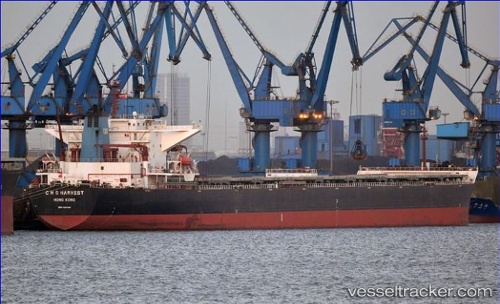
Vessel profile: ANNIE is a Bulk Carrier with dimensions 45m x 289m.
This page combines live AIS, route history, probable destination signals, nearby traffic, and port activity for practical vessel monitoring.
The current position of vessel ANNIE is 12.72500 lat / 120.68167 lng. Updated: 2026-04-13 05:45:52 UTCNearest reference points:
- 19 nm NE of CORON
- 12 nm S of Lobo
- Near Lobo
Currently sailing under the flag of Liberia ![]()
ANNIE built in 2006 year
Deadweight:
173624 tDetails:
Live Vessel ANNIE Analytics (details, animations, etc.)
Recent AIS points (UTC):
2026-04-12 23:57:45 UTC · 13.50667, 119.80167 · SOG 10 kn · COG -1°2026-04-13 02:28:11 UTC · 13.18667, 120.16648 · SOG 11.6 kn · COG -1°
2026-04-13 03:43:18 UTC · 13.01464, 120.35374 · SOG 12.3 kn · COG -1°
2026-04-13 05:45:52 UTC · 12.72500, 120.68167 · SOG 12 kn · COG -1°