 vesseltracker.com
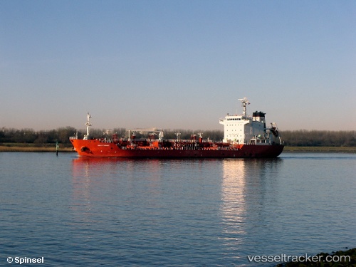
 NEW RANGER
Current Status
Where is the vessel?
NEW RANGER is currently in 12 nm SE of Sulina (Port et Zone Franche), based on AIS data received about 1h ago.
Latest AIS update:
Current position: 45.02568° N, 29.88654° E (12 nm SE of Sulina (Port et Zone Franche))
Average speed (last 7 days): Loading…
Average speed (last 30 days): Loading…
Vessel profile: NEW RANGER is a Oil/Chemical Tanker with dimensions m x m.
This page combines live AIS, route history, probable destination signals, nearby traffic, and port activity for practical vessel monitoring.
The current position of vessel NEW RANGER is 45.02568 lat / 29.88654 lng. Updated: 2026-04-20 00:07:44 UTCNearest reference points:
- 12 nm SE of Sulina (Port et Zone Franche)
- 13 nm E of Sulina (Port et Zone Franche)
- Near Ust-Dunaisk/Vylkove
Currently sailing under the flag of Liberia ![]()
Details:
Live Vessel NEW RANGER Analytics (details, animations, etc.)
Recent AIS points (UTC):
2026-04-16 15:29:12 UTC · 45.00346, 29.95683 · SOG 5.8 kn · COG 335°2026-04-16 17:00:01 UTC · 45.15812, 29.86389 · SOG 12.2 kn · COG 350°
2026-04-16 17:00:01 UTC · 45.15812, 29.86389 · SOG 12.2 kn · COG 350°
2026-04-20 00:07:44 UTC · 45.02568, 29.88654 · SOG 10.8 kn · COG 178°