 vesseltracker.com
 XIN E
XIN E
Current Status
Where is the vessel?
XIN E is currently in 30 nm NE of Doraleh Container Terminal, based on AIS data received less than 1h ago.
Latest AIS update:
Current position: 11.98833° N, 44.91500° E (30 nm NE of Doraleh Container Terminal)
Average speed (last 7 days): Loading…
Average speed (last 30 days): Loading…
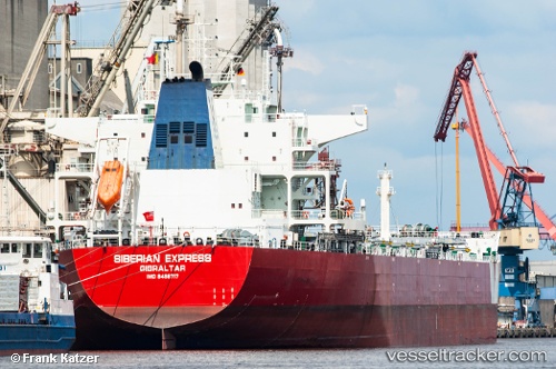
Vessel profile: XIN E is a Bulk Carrier with dimensions 229m x 38m.
This page combines live AIS, route history, probable destination signals, nearby traffic, and port activity for practical vessel monitoring.
The current position of vessel XIN E is 11.98833 lat / 44.91500 lng. Updated: 2026-04-13 15:54:36 UTCNearest reference points:
- Near Djibouti
Currently sailing under the flag of Liberia ![]()
XIN E built in 2012 year
Deadweight:
92974 tDetails:
Live Vessel XIN E Analytics (details, animations, etc.)
Recent AIS points (UTC):
2026-04-13 09:15:29 UTC · 12.23167, 46.19667 · SOG 10 kn · COG -1°2026-04-13 11:05:56 UTC · 12.16571, 45.85815 · SOG 11.2 kn · COG 256°
2026-04-13 13:56:56 UTC · 12.02587, 45.30189 · SOG 12 kn · COG 254°
2026-04-13 15:54:36 UTC · 11.98833, 44.91500 · SOG 12 kn · COG -1°