 vesseltracker.com
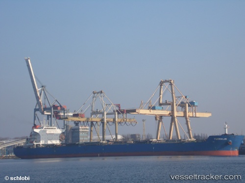
 BLUE OPAL
Current Status
Where is the vessel?
BLUE OPAL is currently in Near AQABA INDUSTRIAL, based on AIS data received less than 1h ago.
Latest AIS update:
Current position: 29.35964° N, 34.96679° E (Near AQABA INDUSTRIAL)
Average speed (last 7 days): Loading…
Average speed (last 30 days): Loading…
Vessel profile: BLUE OPAL is a Bulk Carrier with dimensions 230m x 229m.
This page combines live AIS, route history, probable destination signals, nearby traffic, and port activity for practical vessel monitoring.
The current position of vessel BLUE OPAL is 29.35964 lat / 34.96679 lng. Updated: 2026-04-19 10:13:19 UTCNearest reference points:
- Near AQABA INDUSTRIAL
- Near Al Khuraibah
- 15 nm SW of Al Khuraibah
Currently sailing under the flag of Liberia ![]()
BLUE OPAL built in 2012 year
Deadweight:
92762 tDetails:
Live Vessel BLUE OPAL Analytics (details, animations, etc.)
Recent AIS points (UTC):
2026-04-19 05:24:28 UTC · 29.35964, 34.96679 · SOG 0.1 kn · COG -1°2026-04-19 07:10:49 UTC · 29.35964, 34.96679 · SOG 0.1 kn · COG -1°
2026-04-19 09:12:34 UTC · 29.35964, 34.96679 · SOG 0.1 kn · COG -1°
2026-04-19 10:13:19 UTC · 29.35964, 34.96679 · SOG 0.1 kn · COG -1°