 vesseltracker.com
 TANGO A
Current Status
Where is the vessel?
TANGO A is currently in Near Marotta, based on AIS data received about 11d ago.
Latest AIS update:
Current position: 43.76702° N, 13.14875° E (Near Marotta)
Average speed (last 7 days): Loading…
Average speed (last 30 days): Loading…
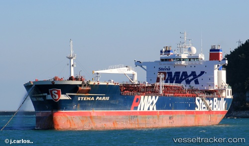
Vessel profile: TANGO A is a Oil Products Tanker with dimensions 182m x 40m.
This page combines live AIS, route history, probable destination signals, nearby traffic, and port activity for practical vessel monitoring.
The current position of vessel TANGO A is 43.76702 lat / 13.14875 lng. Updated: 2026-04-07 18:47:23 UTCNearest reference points:
- Near Fano
- Near Gabicce Mare
- Near IVANA C
Currently sailing under the flag of Liberia ![]()
TANGO A built in 2005 year
Deadweight:
65125 tDetails:
Live Vessel TANGO A Analytics (details, animations, etc.)
Recent AIS points (UTC):
2026-04-07 18:47:23 UTC · 43.76702, 13.14875 · SOG 9.9 kn · COG -1°2026-04-07 18:47:23 UTC · 43.76702, 13.14875 · SOG 9.9 kn · COG -1°
2026-04-07 18:47:23 UTC · 43.76702, 13.14875 · SOG 9.9 kn · COG -1°