 vesseltracker.com
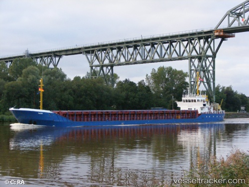
 GMS MANA
Current Status
Where is the vessel?
GMS MANA is currently in 24 nm SE of Al Shaheen, based on AIS data received about 1h ago.
Latest AIS update:
Current position: 26.23643° N, 52.33059° E (24 nm SE of Al Shaheen)
Average speed (last 7 days): Loading…
Average speed (last 30 days): Loading…
Vessel profile: GMS MANA is a Multi Purpose Offshore Vessel with dimensions m x m.
This page combines live AIS, route history, probable destination signals, nearby traffic, and port activity for practical vessel monitoring.
The current position of vessel GMS MANA is 26.23643 lat / 52.33059 lng. Updated: 2026-04-21 12:00:57 UTCNearest reference points:
- 21 nm NE of Halul Island
- Near RAS LAFFAN
- Near Jazireh-Ye Lavan
Currently sailing under the flag of Liberia ![]()
Details:
Live Vessel GMS MANA Analytics (details, animations, etc.)
Recent AIS points (UTC):
2026-04-21 08:24:58 UTC · 26.17042, 52.02376 · SOG 7.3 kn · COG 71°2026-04-21 09:15:23 UTC · 26.18792, 52.13300 · SOG 7.1 kn · COG -1°
2026-04-21 10:05:08 UTC · 26.21824, 52.24713 · SOG 7.3 kn · COG 65°
2026-04-21 12:00:57 UTC · 26.23643, 52.33059 · SOG 0.4 kn · COG 163°